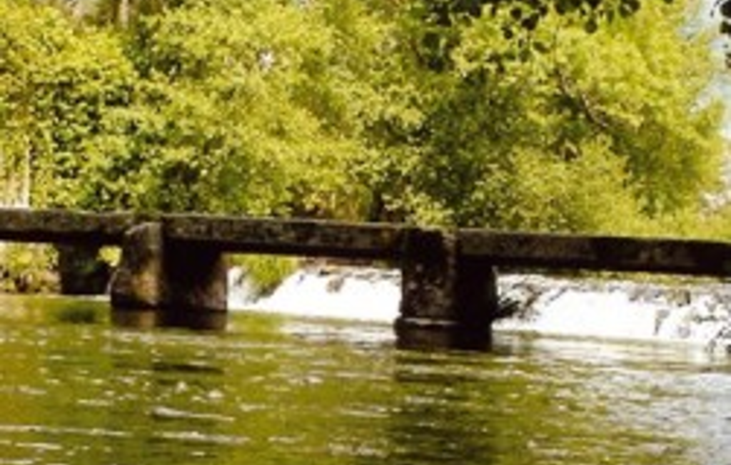
Through the path of the wind and the sky we can observe the meeting point of the Atlantic coast and the Neiva riverplain,resulting on a river mouth of unusual reduced proportions. Throughout the coast line, the white pebble beaches overlap the slate outcrops that protect the old dunes.This dune system separates the sea from the agricultural plain,dotted by the Mediterranean and maritime pine woodland,and reed beds.
Data Sheet
Route name: trail between the Neiva and Atlântic"path of wind and sky
Sponsor: Esposende town council
route location: Antas, Belinho and Esposende
route type:circular and short route
Route scope: Landscape and natural
Point of departure and arrival:parking near the mouth and estuary of Neiva river.
Length of route: 8.36 km
Level of difficulty.easy
Minimum elevation: 0.4 metres
Maximum elevation:22 metres
Points of interest: agricultural landscape of Veigas coastal and traditional,landscape observatory, Santa Tecla chapel, litoral area,mouth and estuary of Neiva River.
Location: Esposende


